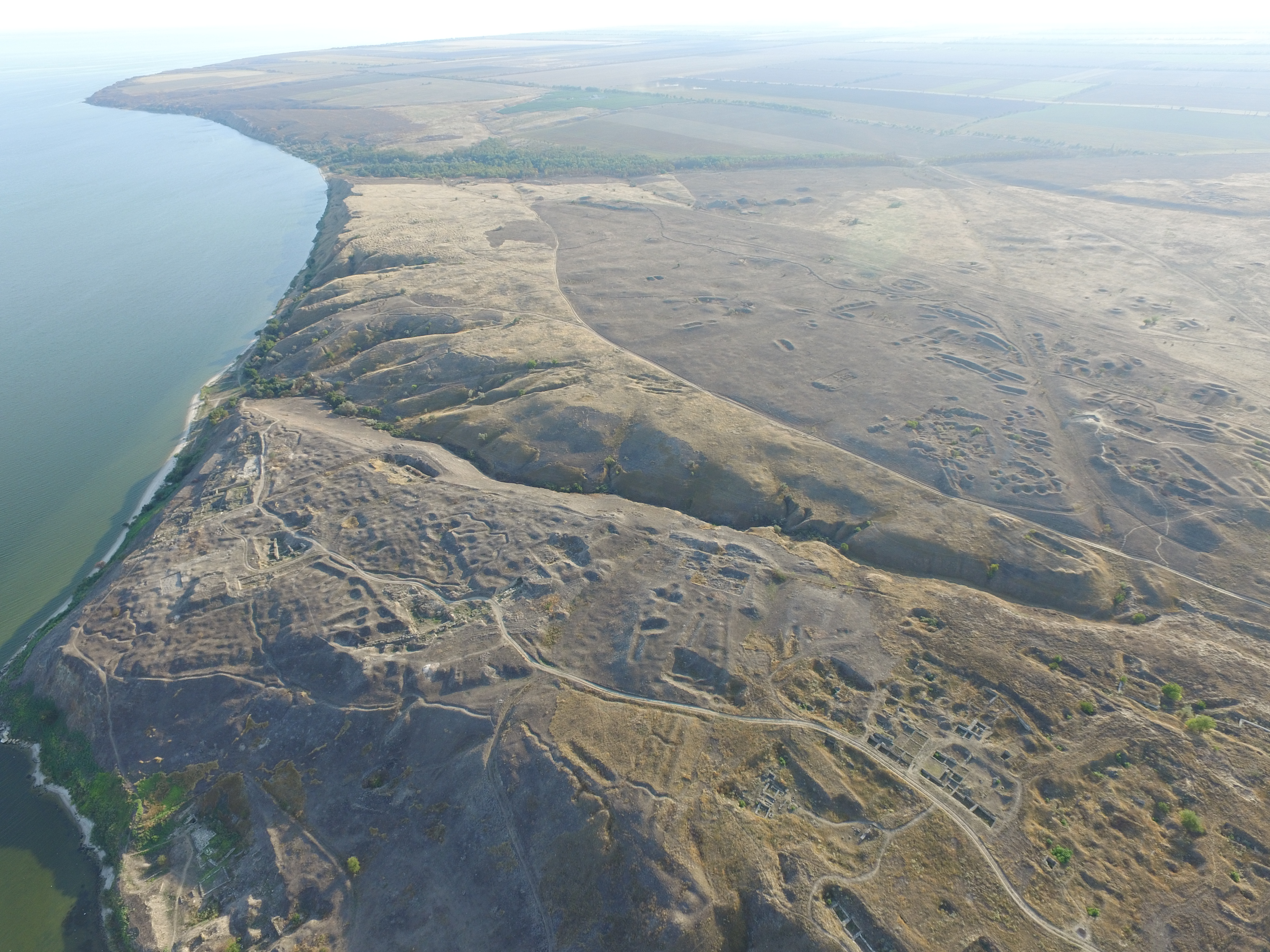
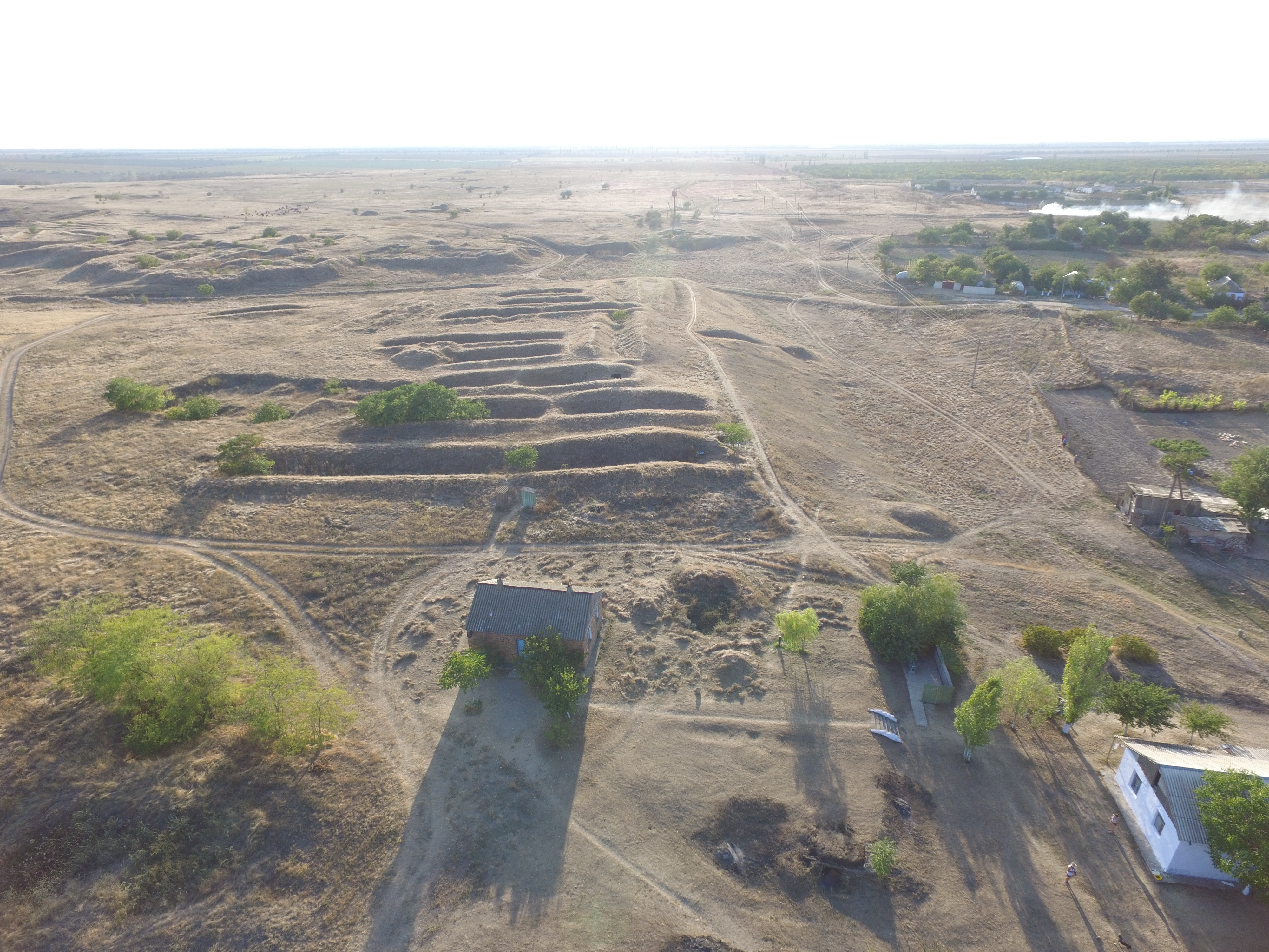
Between 4 and 10 September 2017, surveying and topographical fieldwork was carried out at the Olbia archaeological site. This was aimed at taking a series of kite aerial photographs and surveying the several dozen hectares of ruins of the ancient city of Olbia. During the seven-day campaign, two Polish researchers aided by members of the Ukrainian mission managed to complete all of the envisaged tasks. Several additional survey sites have been established within the antique ruins of the polis based on the so-called permanent geodetic points, which is essential to create a full architectural map of ancient Olbia. On the basis of said points, more than 10,000 survey points of architectural remains have been made throughout the entire polis. Survey and photographic documentation, both aerial and on the ground, has been made for each of the old trenches. All architectural remains visible on the ground have been documented as well as old archaeological sites explored by earlier research missions. Data thus obtained will be used to create a full orthophotomap of the area occupied by the ancient polis of Olbia. It is worth adding that first modern excavation research was conducted here between 1902 and 1926 by Boris Farmakovsky, followed by several generations of the most eminent classical Russian and Ukrainian archaeologists. However, the first documented research took place as early as in 1794 (P. S. von Palla) and then in the 19th century (Count Alexei Uvarov). There are also many exploration sites from Osman times, when stone was mined here, for example for the construction of Ochakiv. Owing to modern technologies, it is possible to map all of the old trenches – perhaps even identify the earliest ones, about which we only possess very scarce information – and to create an electronic compendium of archaeological works conducted here. This should greatly facilitate tracing the development of Olbia’s borders over time and help interpret the results of current excavation works.
Alfred Twardecki


